Trekking Cima d’Asta-Val Campelle
A CROSSING FROM THE CIMA D’ASTA GROUP TO THE LAGORAI RANGE, 4 DAYS WITH 3 OVERNIGHT STAYS IN HUT / MALGA (OTTONE BRENTARI HUT AT CIMA D’ASTA, MALGA CALDENAVE HUT, MALGA CONSERIA).
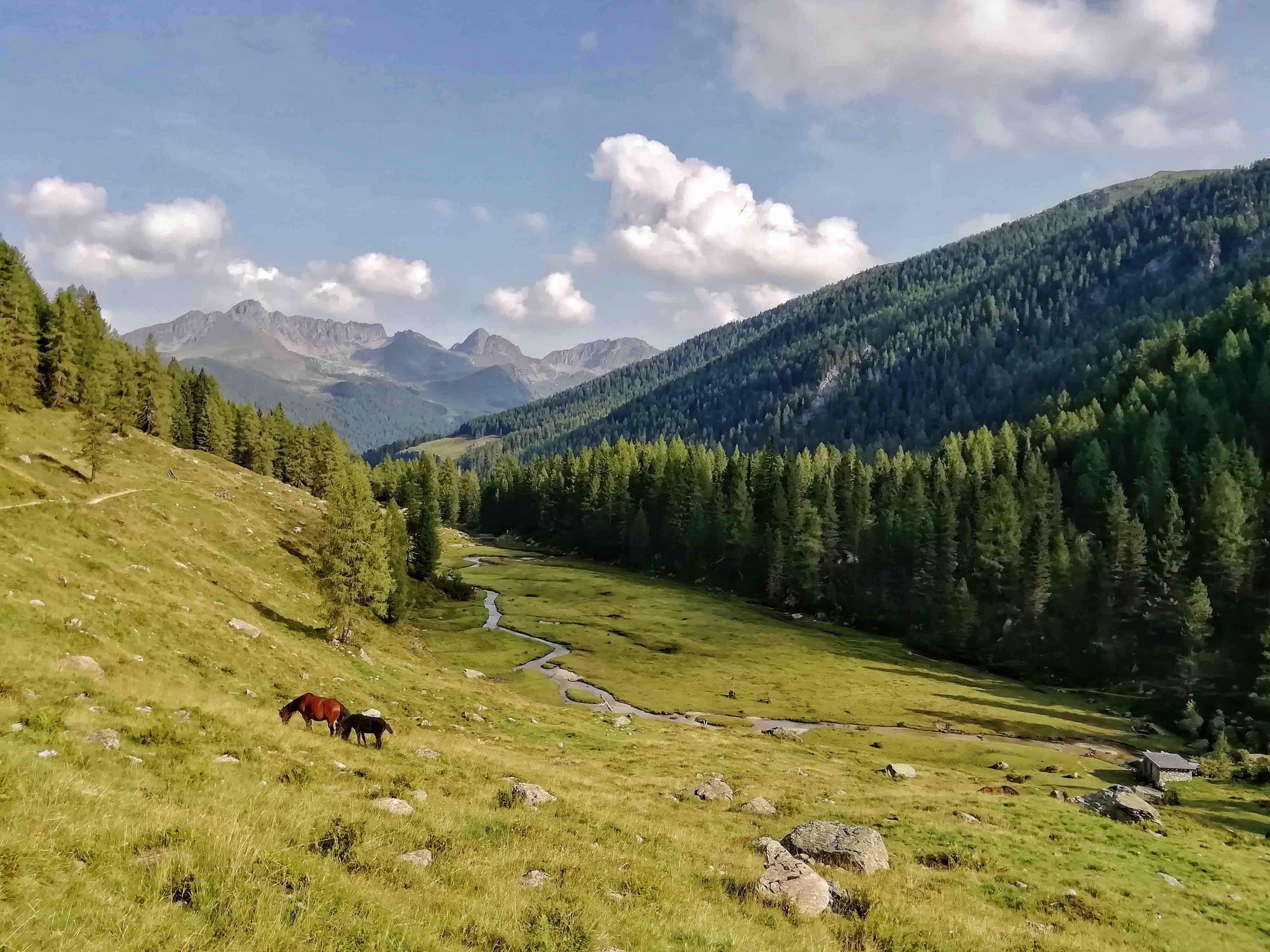
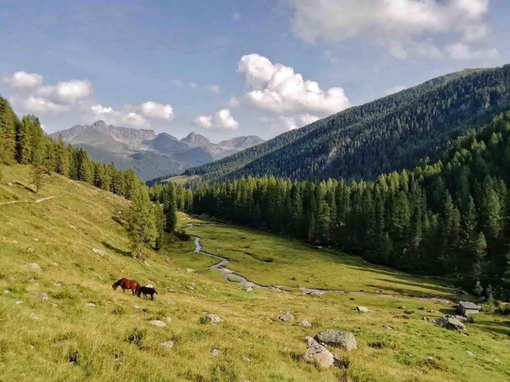
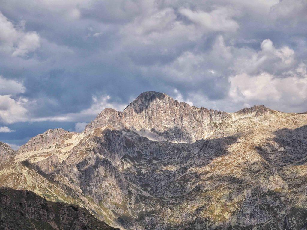
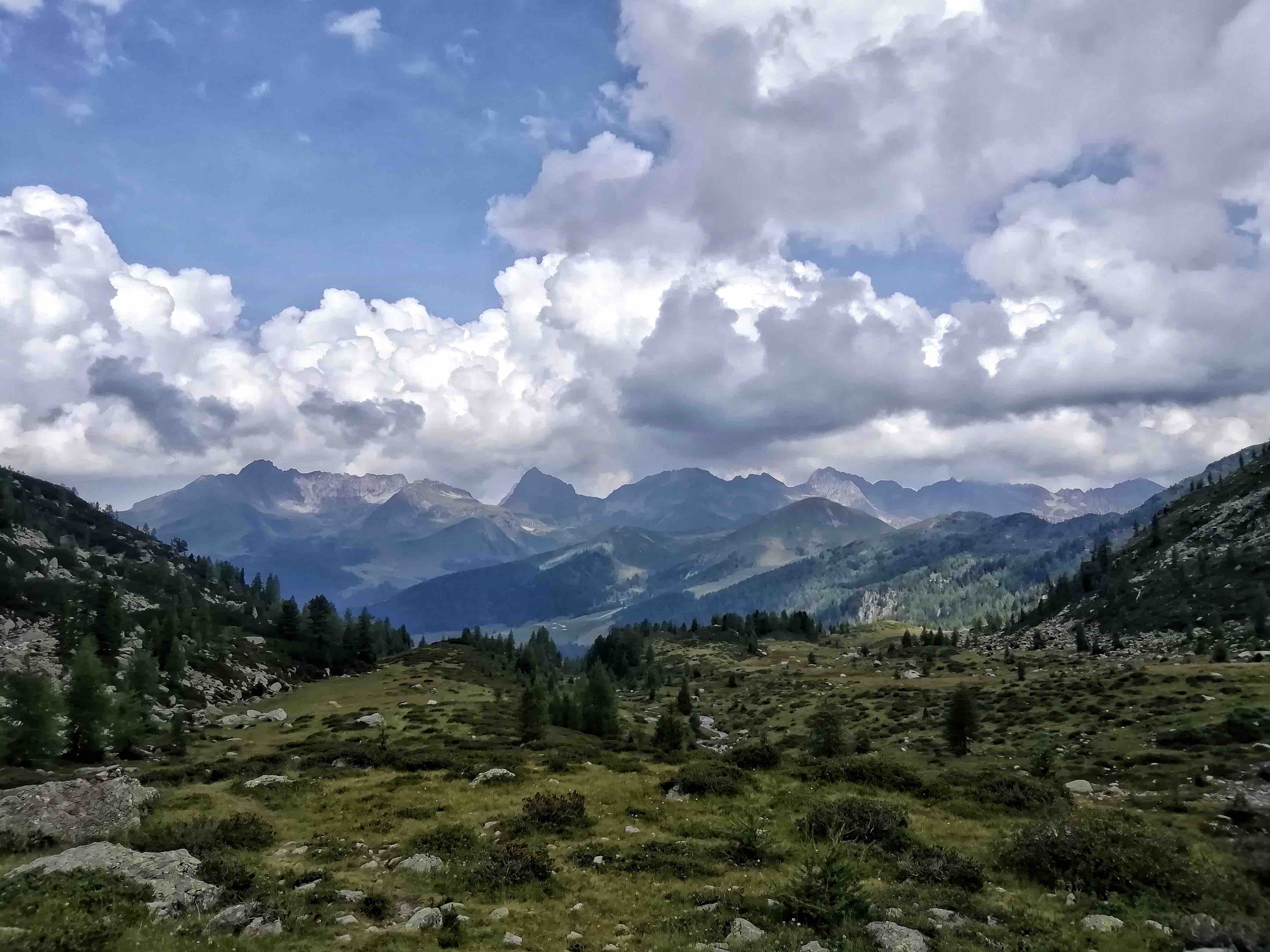
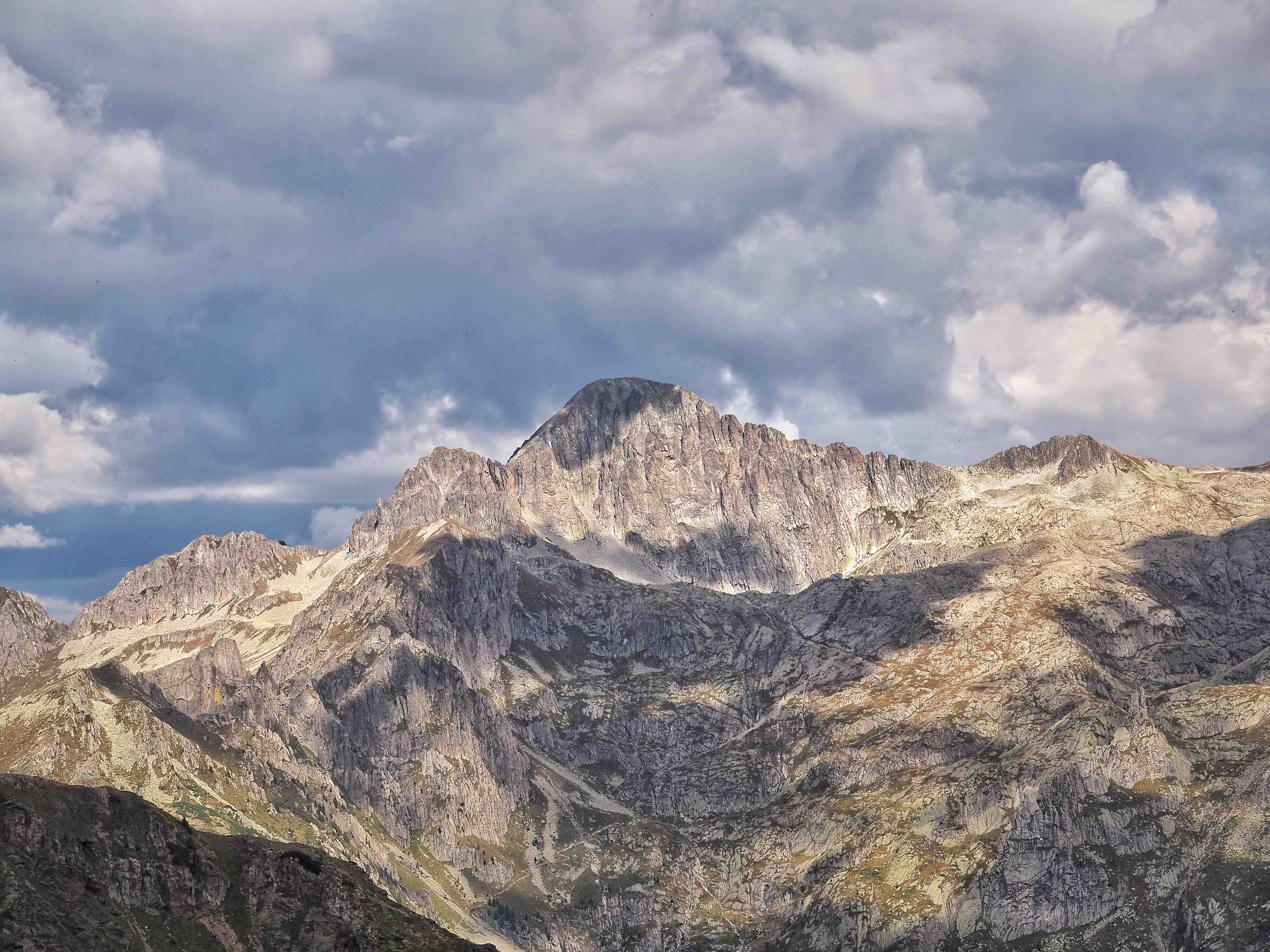
We walk along part of the Granite High Route (Alta Via del Granito), straddling the granite pluto of the Cima d'Asta-Rava group and the Lagorai range, to finally land in the Campelle valley.
The route develops along an extensive network of paths and former military cart tracks that allows a trek that combines historical, geological and naturalistic aspects, in the area where the most ancient rocks of Trentino emerge and where tangible testimonies of the Great War are still visible.
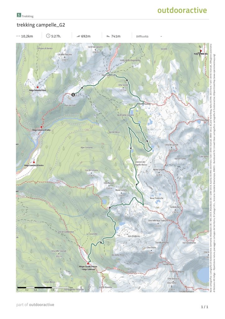
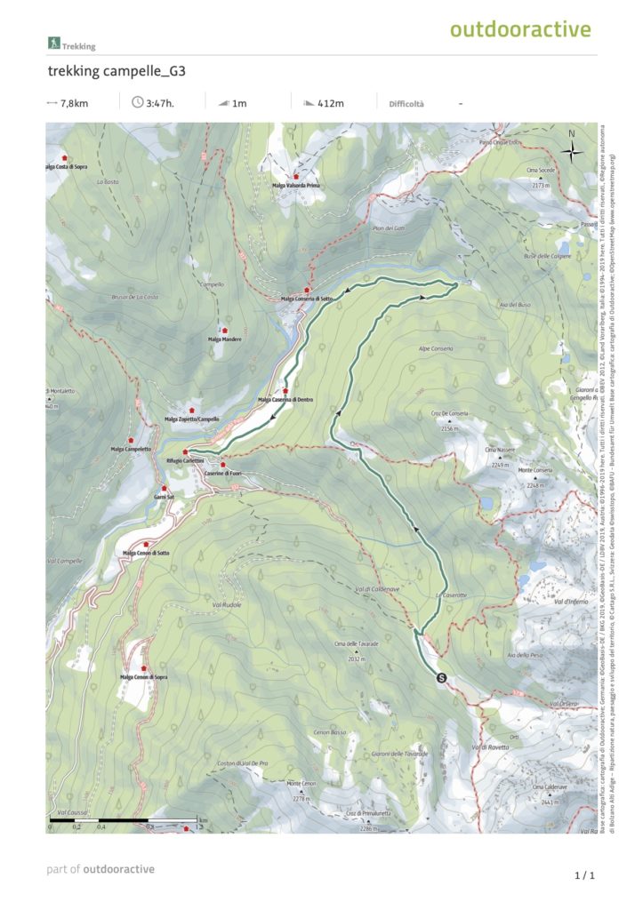
The itinerary length is about 31 km, with a total altitude gap, positive and negative, of about 2100 m.
The walking times reported (actual walking) are indicative, referring to a medium-low level of training and calculated net of breaks, didactic moments or other.
Dettagli:
(7km / 11.3km / 7.6km / 5.1km)
(+1030m / +510m -1200m / +525m -475m / + 17m -475m)
(1^ d. 4h30' / 2^ d. 6h30' / 3^ d. 4h / 4^ d. 2h30')
Itinerary on clearly visible paths or tracks, usually with signs. It can have steep sections; the exposed sections are usually either protected or equipped. It can include easy passages on rock, not exposed and which in any case do not require mountaineering knowledge.
BRING: one change, wind / water jacket, sunscreen, hat, snacks and water. Trekking poles are optional.


